The highway originally crossed the Columbia River on an earlier bridge built in 1908. The bridge was signed as part of State Road 7 in 1909 and later State Road 2 (the Sunset Highway) in 1923. The roadway was used by US 10 from 1926 until 1940, when it was re-routed and replaced by an alternate route. US 2 was extended from Idaho into Washington in 1946 and used the bridge until the newer Senator George Sellar Bridge was built to the south in 1950. SR 285 was designated in 1977 after US 2 was routed onto the Richard Odabashian Bridge north of Wenatchee and East Wenatchee. The area around the Senator George Sellar Bridge is being improved by the Washington State Department of Transportation to handle increased traffic.
The Senator George Sellar Bridge is the busiest section of SR 285, being used by a daily average of 52,000 vehicles in 2011. The southern end of the one-way pair, at the intersection of Chelan Avenue and Mission Street, had a daily average of 22,000 vehicles in 2011.[13]
Between May 2009 and July 2011, the Washington State Department of Transportation (WSDOT) added an additional eastbound lane on the Sellar Bridge by moving the sidewalks to a new structure on the outside of the bridge,[34] opening on July 29, 2011.[35] A southbound bypass lane for SR 28 was completed in 2013.[36][37] At the west end of the bridge, in Downtown Wenatchee, a new off-ramp to Crescent Street and signal improvements at Mission Street were completed in December 2013.[38]
^Staff (2011). "2011 Annual Traffic Report"(PDF). Washington State Department of Transportation. pp. 167, 230. Archived from the original(PDF) on June 13, 2013. Retrieved January 11, 2013.
^Washington State Legislature (March 13, 1909). "Chapter 51: Providing for the Survey of Certain State Roads". Session Laws of the State of Washington (1909 ed.). Olympia, Washington: Washington State Legislature. p. 95. Retrieved January 11, 2013.
^Washington State Legislature (March 17, 1913). "Chapter 65: Classifying Public Highways". Session Laws of the State of Washington (1913 ed.). Olympia, Washington: Washington State Legislature. p. 221. Retrieved January 11, 2013.
^Washington State Legislature (March 19, 1923). "Chapter 185: Primary and Secondary State Highways". Session Laws of the State of Washington (1923 ed.). Olympia, Washington: Washington State Legislature. p. 628. Retrieved January 11, 2013.
^Washington State Legislature (March 17, 1937). "Chapter 190: Establishment of Primary State Highways". Session Laws of the State of Washington (1937 ed.). Olympia, Washington: Washington State Legislature. p. 934. Retrieved January 11, 2013.
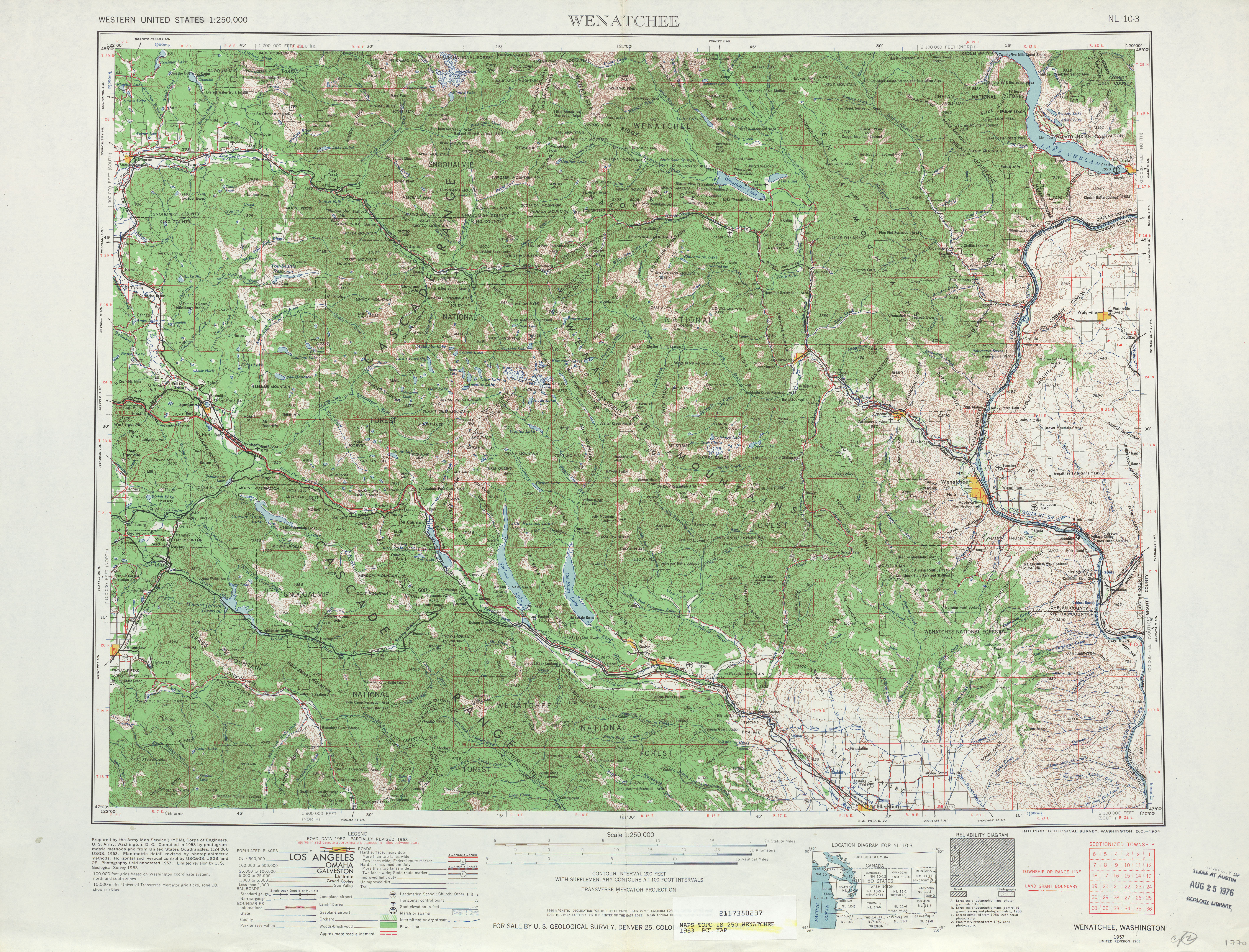
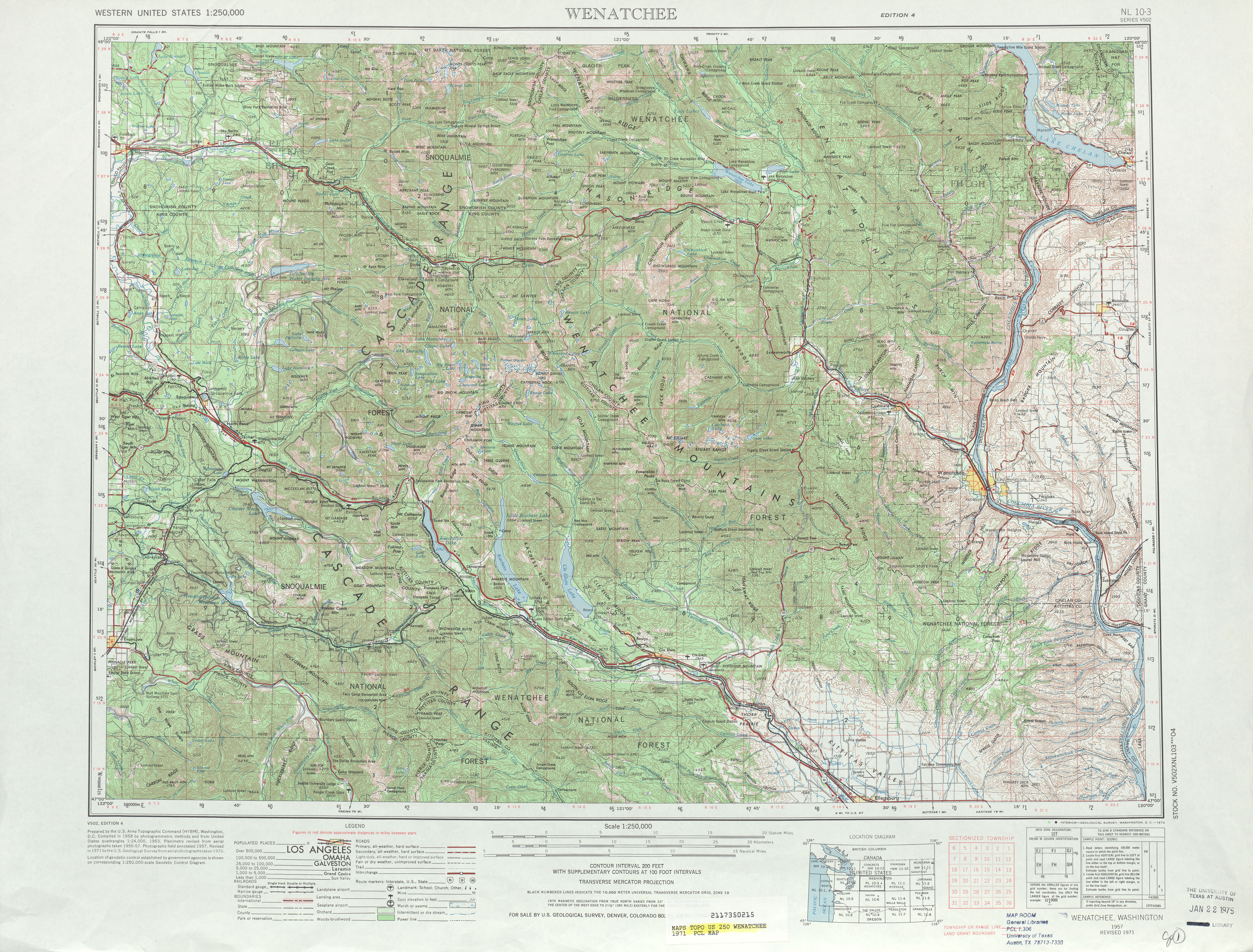
^Wenatchee, 1971(JPG) (Map). 1:250,000. United States Geological Survey. 1971. Retrieved January 11, 2013.
^Staff (1970). "1970 Annual Traffic Report"(PDF). Washington State Department of Transportation. pp. 31–32. Archived from the original(PDF) on October 17, 2013. Retrieved January 11, 2013.
^Staff (1990). "1990 Annual Traffic Report"(PDF). Washington State Department of Transportation. p. 112. Archived from the original(PDF) on October 20, 2013. Retrieved January 11, 2013.
^Washington House of Representatives (1991). Chapter 342, Laws of 1991: State Highway Routes — Revisions To (House Bill 5801)". Session Laws of the State of Washington (1991 ed.). Olympia, Washington: Washington State Legislature.


