|
Japan National Route 5
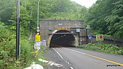
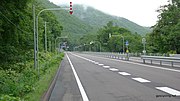
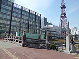
National Route 5 (国道5号, Kokudō Go-gō) is a major highway on the island and prefecture of Hokkaido in northern Japan. The 288.5-kilometer (179.3 mi) highway begins at an intersection with National Routes 279 and 278 in Hakodate. It travels north across the southern half of the island, traveling through Otaru where it curves to the east toward its endpoint at an intersection with National Route 12 in Chūō-ku, Sapporo. Route descriptionOverlapping sections
Municipalities passed throughHistoryNational Route 5 traces its origin to the Sapporo Hondō, a road designed by Horace Capron, in 1872. Capron was an American advisor to the Hokkaido Development Commission who was paid to assist in the development of Sapporo as a planned city. The Sapporo Hondō connected Sapporo to Hakodate at the southern end of the Hokkaido where sea connections to the main island of Japan, Honshu, were located. The Sapporo Hondō was completed in 1877.[2] On 4 December 1952, the Cabinet of Japan designated the Sapporo Hondō as First Class National Highway 5.[3] On 1 April 1965, it was reclassified as National Route 5.[4] Gallery
Major junctionsThe route lies entirely within Hokkaido.
See alsoReferences
External links
|
||||||||||||||||||||||||||||||||||||||||||||||||||||||||||||||||||||||||||||||||||||||||||||||||||||||||||||||||||||||||||||||||||||||||||||||||||||||||||||||||||||||||||||||||||||||||||||||||||||||||||||||||||||||||||||||||||||||||||||||||||||||||||||||||||||||||||||||||||||||||||||||||||||||||||||||||||||||||||||||||||||||||||||||||||||||||||||||||||||||||||||||||||||||||||||||
Portal di Ensiklopedia Dunia


