|
Daugaard-Jensen Glacier
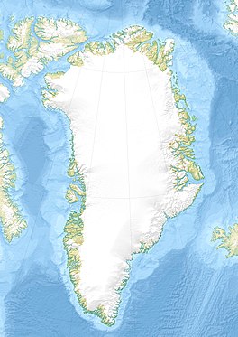
The Daugaard-Jensen Glacier is a large glacier located on the southeast coast of Greenland. The glacier was first mapped in 1933 by Lauge Koch during aerial surveys made during the 1931–34 Three-year Expedition to East Greenland (Treårsekspeditionen). It is named in honour of Niels Daugaard-Jensen, who was head of the Greenland department under the Danish Ministry of State and former governor (Landsfoged) of Northern Greenland.[1] GeographyLocated in the northwestern side of Hinksland and south of Charcot Land, it drains an area of 50,150 km2 of the Greenland Ice Sheet with a flux (quantity of ice moved from the land to the sea) of 10.5 km3 per year, as measured for 1996.[2] With its terminus in the Nordvestfjord of the Scoresby Sound, it is one of the main producers of icebergs to the north of Iceland.[3] In an original docuseries of Alex Honnold on National Geographic it is mentioned that measurements of the glacier have shown that it is stable despite global warming. See alsoReferences
|
||||||||||||||
Portal di Ensiklopedia Dunia

