Taluk in Karnataka, India
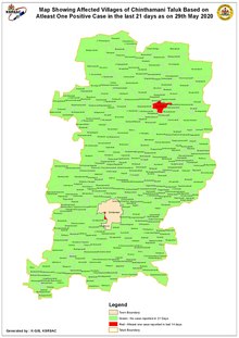
Chintamani Taluk Map Also refer to Chintamani
Span
Taluk at a glance
Taluk
Villages (1991)
Total
Gram Panchayats (2001–02)
As per 2001 census
Inhabited
Uninhabited
Hoblies
Villages
Town Panchayats
Town Municipality
City Municipal Council
Chintamani
344
63
407
34
6
400
0
0
1
Demography
Population at a glance
(As per 2001 Population Census)
Description
Total
Male
Female
Total
2,71,284
1,38,311
1,32,973
Villages
2,05,791
1,04,466
1,01,325
Chintamani City
65,493
33,845
31,648
Education
Glance at Elementary Schools [ 1]
Education Department
Social Welfare
Local Body
Aided
Un Aided
Central
Others
Total
LPS
HPS
LPS
HPS
LPS
HPS
LPS
HPS
LPS
HPS
LPS
HPS
LPS
HPS
LPS
HPS
Total
215
127
1
3
0
0
0
13
6
54
0
1
0
0
222
198
420
LPS – Lower Primary School
HPS – Higher Primary School
Religious tourism
Kaivara kshetra, South WesterlyKailasagiri cave and Ambaji Durga cave temple, South Westerly
Lakshmi Venkataramana temple, Alamgiri, Southerly
Murugamulla: Fakhi Shah Wali Dargah and Muktheshwara swami temple, Easterly
References