|
Central Mount Stuart
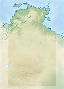
Central Mount Stuart is a mountain peak situated in the southern Northern Territory of Australia. It is a prominent landmark easily seen from the nearby Stuart Highway, which at closest approach lies about 6 kilometres (3.7 mi) to the southeast. The dark red sandstone that comprise the peak, referred to by geologists as Central Mount Stuart Formation, form part of the Georgina Basin. Around it is the Central Mount Stuart Historical Reserve.[3] It lies within the traditional lands of the Anmatyerre people. The mountain is named in honour of Scottish explorer John McDouall Stuart. Stuart reached the area on 22 April 1860 and determined a point approximately 4 km (2.5 mi) south-southwest of the peak to be the centre of Australia,[4] (This assessment is not supported by modern geographers—see centre points of Australia.) He climbed to the top the next day, writing in his journal:
 Stuart originally named the peak Central Mount Sturt, after his former expedition leader Charles Sturt. The name was changed (possibly at the instigation of James Chambers) soon after Stuart's return at Adelaide at the end of the expedition, such that Central Mount Stuart is the name that appeared in the published expedition journal.[5] Stuart's route was followed by the Adelaide-to-Darwin cross-continental Overland Telegraph Line,[6] completed in 1872, and the Central Australia Railway, built between 1878 and 1929. After the telegraph line had been completed and the first messages sent, Sir Charles Todd and surveyor Richard Randall Knuckey returned to Adelaide from Central Mount Stuart.[7] See alsoReferences
Other external resources |
||||||||||||||||||||
Portal di Ensiklopedia Dunia

