|
Lake Huangqi
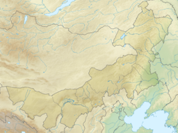
Lake Huangqi, also known by its Chinese name as the Huangqi Hai, is a lake in Chahar Right Front Banner, Ulanqab Prefecture, Inner Mongolia, China. The lake has shrunk dramatically from its original size. Every year the lake looses more water to evaporation than is replenished by the now smaller rivers which feed it.
NameThe present name dates to the Qing, when it was named after one of the Eight Banners.[which?] GeographyLake Huangqi is a lake in Chahar Right Front Banner, Ulanqab Prefecture, Inner Mongolia, China. It forms an irregular inverted triangle of about 110–113 km2 (42–44 sq mi), with an east–west distance of about 20 kilometers (12 mi) and a north–south distance of about 9 kilometers (6 mi). Having an average depth of 4–10 meters (13–33 ft) and a maximal depth of 35 meters (115 ft), it holds 460–500 million cubic meters (370,000–410,000 acre⋅ft) of water. HistoryUnder the Qin, Huangqi and Dai lakes formed the northern boundaries of Yanmen Commandery, marking part of the northern frontier of the Chinese empire.[1] ReferencesCitationsBibliography
External links |
||||||||||||||||||||||||||||||||||||||||||||

