|
Stainton by Langworth
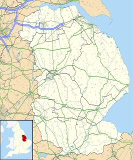
Stainton by Langworth is een civil parish in het bestuurlijke gebied West Lindsey, in het Engelse graafschap Lincolnshire. In 2001 telde het dorp 80 inwoners.[1] De aan Johannes de Doper gewijde dorpskerk werd in 1795 gebouwd en staat op de Britse monumentenlijst.[2] Bronnen, noten en/of referenties
|
||||||||||||||||||||||||||||||||||

