|
Sub Teniente Nestor Arias Airport
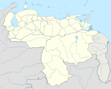
Sub Teniente Nestor Arias Airport (IATA: SNF, ICAO: SVSP) is an international airport located in Cocorote Municipality, Yaracuy, and serving the city of San Felipe, Yaracuy, Venezuela. The runway is 5 kilometres (3.1 mi) south of the town. The San Felipe non-directional beacon (Ident: SPE) is located near the northeastern end of the runway.[3] See alsoReferences
External links
|
||||||||||||||||||||||||||||||||||||

