Skibergfjellet

Skibergfjellet
Sign on the top of Skibergfjellet
Highest point
Elevation632 m (2,073 ft)[1]
Prominence17 m (56 ft)[1]
Isolation0.442 km (0.275 mi)[1]
Coordinates59°34′54″N 9°58′10″E / 59.58178°N 9.96958°E / 59.58178; 9.96958[2]
Geography
Map of the location
Map of the location
Skibergfjellet
Location of the mountain
Map of the location
Map of the location
Skibergfjellet
Skibergfjellet (Norway)
LocationVestfold, Norway
Topo map(s)1714 II Kongsberg (west) and 1814 III Drammen (east)

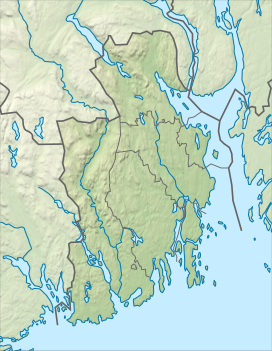
Skibergfjellet is a mountain in Holmestrand Municipality in Vestfold county, Norway. The 632-metre (2,073 ft) tall mountain is located about 4 kilometres (2.5 mi) west of the village of Eidsfoss and about 9 kilometres (5.6 mi) northwest of the village of Hof.[1]

The mountain is surrounded by several other notable mountains including Vestfjellet and Grøntjernkollen to the southwest and Buaren to the south.[1] Views from the peak include Færder Lighthouse, Tryvannstårnet, Norefjell, and Jonsknuten.[3]

See also

References

  1. ^ a b c d e "Skibergfjellet". PeakVisor.com. Retrieved 19 March 2024.
  2. ^ "Skibergfjellet" (in Norwegian). yr.no. Retrieved 19 March 2024.
  3. ^ Larsen, Erlend (2011). På Tur i Vestfold del 2. E-forlag. p. 151. ISBN 9788293057222.