|
Mount Hayachine
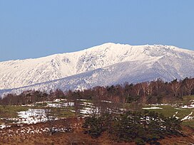
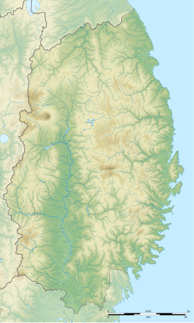
Mount Hayachine (早池峰山, Hayachine-san) is the highest mountain in the Kitakami Range, located in the Tōhoku region of northern Honshū, Japan. With an elevation of 1,917 m (6,289 ft), it is the second highest in Iwate Prefecture after Mount Iwate. Mount Hayachine is mentioned in 100 Famous Japanese Mountains, a book written in 1964 by Kyūya Fukada.[1] The mountain is on the borders of the municipalities of Hanamaki, Tōno, and Miyako, east of the prefectural capital of Morioka. OutlineMount Hayachine is composed of peridotite olivine and serpentine rock, and is unusual in that it lies farther east than other large mountains on Honshū, and is geologically part of the oldest formation in Japan. There are many alpine plants and flower species that are endemic to the area. It is also the southernmost location for the Sakhalin Spruce. For these reasons, 1370 hectares were declared a Special Nature Conservation Area on May 17, 1975 by the national government. On June 10, 1982 an additional 5463 hectares became Hayachine Quasi-National Park.[2][3] See alsoReferences
External linksWikimedia Commons has media related to Mount Hayachine. |
||||||||||||||||||||||


