Kereu River

Kereu River
Map
Route of the Kereu River
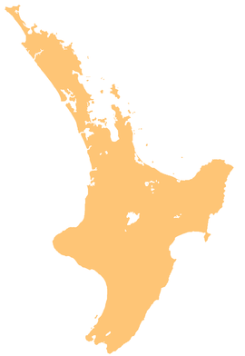
Kereu River is located in New Zealand
Kereu River
Mouth of the Kereu River
Kereu River is located in North Island
Kereu River
Kereu River (North Island)
Location
CountryNew Zealand
Physical characteristics
SourceHauhauponamu Stream
 • coordinates37°47′36″S 177°52′25″E / 37.79341°S 177.87372°E / -37.79341; 177.87372
Mouth 
 • location
Bay of Plenty
 • coordinates
37°42′37″S 177°43′04″E / 37.71026°S 177.71765°E / -37.71026; 177.71765
Length28 km (17 mi)
Basin features
ProgressionKereu RiverBay of PlentyPacific Ocean
Tributaries 
 • leftWaiti Stream, Ohinetutaekiora Stream, Ponuiahine Stream, Ōwhiro Stream, Te Ana Stream
 • rightArawhata Stream, Ngawha Stream, Mokuku Stream, Kaumaro Stream, Waharau Stream

The Kereu River is a river of New Zealand's northeastern North Island.[1] It flows northwest from its headwaters, the largest of which is the Hauhauponamu Stream, reaching the sea in the extreme east of the Bay of Plenty, close to the township of Te Kaha.

See also

References

  1. ^ "Place name detail: Kereu River". New Zealand Gazetteer. New Zealand Geographic Board. Retrieved 6 January 2024.