|
Isturitz and Oxocelhaya caves
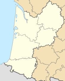
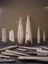
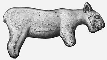
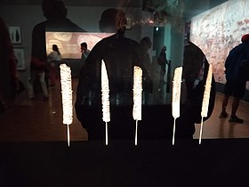
The Isturitz and Oxocelhaya caves (French: Grottes d'Isturitz et d'Oxocelhaya) are an important Paleolithic site where a Neanderthal mandible was found, as well as later modern human finds associated with the Aurignacian, Solutrean and Magdalenian. They also include cave paintings and bone flutes.[1] The caves are located in the Gaztelu hill in the Arberoue Valley in the foothills of Pyrenees, in Lower Navarre, a traditional region of the department of Pyrénées-Atlantiques, southwestern France, part of the French Basque Country.[2] The French government has classified the site as a Monument historique since 1953.[3] Occupation by Neanderthal and Homo sapiens communities extends over a period from 80,000–10,000 years BP, and continued to be use (perhaps only for burials) until the Roman era.[4] The site is discussed within the context of Franco-Cantabrian prehistory, as among the easternmost decorated caves that extended along the Pyrenees and Cantabrian Mountains.[4] Topography The caves are within the territories of the communes of Isturits et de Saint-Martin-d'Arberoue, in the vicinity of Hasparren. They form part of a system of three caves carved into the limestone Gaztelu hill in succession by the Arbéroue stream, which flows into the Lihoury, a tributary of the Bidouze. The hill itself is surmounted by the Rocafort castle.
Isturitz caveThe Isturitz cave is divided into two parts: the Hall of Saint-Martin (or South Hall) and the Main Hall or Hall of Isturitz (or North Hall). At the beginning of the Mesolithic, the opening that faces the town of Saint-Martin-d’Arberoue is estimated to have been 15 and 20 m wide and about 10 m high, making it visible to humans a distance.[4] Human remainsThe most common human remains from Isturitz are cranial vaults, which have been cut-marked and modified to create drinking cups ("coupelles"), dating from the Magdalenian (~15 to 12,000 years BP).[5][6] Gallery
SourceThis article incorporates material from the corresponding article in French wikipedia. References
External links |
||||||||||||


